Road stops in Rochefort, Nouvelle-Aquitaine, France
RoadBreakMap lists 186 mapped road stops in Rochefort, Nouvelle-Aquitaine, France: fuel, EV chargers, rest areas, drive-throughs and public toilets, where the data has them. Data: OpenStreetMap and Open Charge Map.
About Rochefort
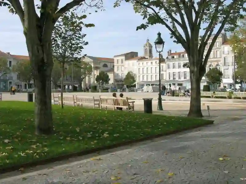
Rochefort is a place in Charente-Maritime, Arrondissement of Rochefort, France. Its recorded population is 23,460 (2023). It sits at an elevation of about 0 m. Use the map and lists on this page to find fuel, EV charging, toilets, rest areas and food stops around town.
Facts: Wikidata.
Public toilets (101)EV chargers (39)Fuel (27)Diesel (24)Drive-throughs (11)
Places
Listed with the most recorded facilities first. This is not a rating or a recommendation; always check before you travel.
- Station Service E.Leclerc
- Open 24 hours
- Wheelchair access
- Intermarché
- Open 24 hours
- Intermarché
- Open 24 hours
- Intermarché
- Open 24 hours
- Intermarché Hyper
- Open 24 hours
- McDonald's
- Opening hours listed
- Wheelchair access
- Baby change
- Station Service E. Leclerc
- Open 24 hours
- Wheelchair access
- Station Service E. Leclerc
- Open 24 hours
- Station Service E.Leclerc
- Open 24 hours
- Station U
- Open 24 hours
- Wheelchair access
- Station U
- Open 24 hours
- Total Access
- Open 24 hours
- Public toilets
- Open 24 hours
- Wheelchair access
- Free
- Public toilets
- Open 24 hours
- Wheelchair access
- Free
- Public toilets
- Open 24 hours
- Wheelchair access
- Free
- Public toilets
- Open 24 hours
- Wheelchair access
- Free
- Public toilets
- Open 24 hours
- Wheelchair access
- Free
- Carrefour Market
- Open 24 hours
- E. Leclerc
- Open 24 hours
- Esso express
- Open 24 hours
- Intermarché
- Opening hours listed
- Wheelchair access
- Intermarché
- Open 24 hours
- Station Service E. Leclerc
- Open 24 hours
- Super U
- Open 24 hours
- Total
- Open 24 hours
- everbox
- Opening hours listed
- Fee applies
- EV charging
- EV chargers
- Open 24 hours
- Fee applies
- EV charging
- EV chargers
- Open 24 hours
- Fee applies
- Fast EV (50 kW)
- Public toilets
- Open 24 hours
- Free
- Public toilets
- Opening hours listed
- Wheelchair access
- Free
- Public toilets
- Open 24 hours
- Wheelchair access
- Free
- Public toilets
- Open 24 hours
- Wheelchair access
- Free
- Public toilets
- Opening hours listed
- Wheelchair access
- Free
- Avia
- Opening hours listed
- Comptoir des Vignes
- Opening hours listed
- Wheelchair access
- Intermarché
- Lidl
- Opening hours listed
- McDonald's
- Opening hours listed
- Wheelchair access
- TotalEnergies
- Open 24 hours
- EV chargers
- Open 24 hours
- EV up to 36 kW
- EV chargers
- Open 24 hours
- Fee applies
- EV charging
- EV chargers
- Opening hours listed
- Fee applies
- EV charging
- EV chargers
- Open 24 hours
- Fee applies
- Fast EV (50 kW)
- EV chargers
- Open 24 hours
- Fee applies
- EV up to 43 kW
- Public toilets
- Wheelchair access
- Free
- Public toilets
- Wheelchair access
- Free
- Public toilets
- Wheelchair access
- Free
- Public toilets
- Wheelchair access
- Free
- Public toilets
- Wheelchair access
- Baby change
- Free
- Public toilets
- Wheelchair access
- Free
- Public toilets
- Wheelchair access
- Free
- Public toilets
- Opening hours listed
- Wheelchair access
- Free
- Public toilets
- Wheelchair access
- Free
- Public toilets
- Open 24 hours
- Free
- Public toilets
- Open 24 hours
- Free
- Public toilets
- Open 24 hours
- Free
- Public toilets
- Wheelchair access
- Free
- Public toilets
- Wheelchair access
- Free
- Public toilets
- Wheelchair access
- Free
- Chaussea
- Opening hours listed
Showing 60 of 186. See more on the map
Nearby: La Rochelle Royan Saintes Fontenay-le-Comte Hourtin Niort La Roche-sur-Yon Cognac Carcans Les Sables-d'Olonne Les Herbiers Montendre
Places, opening hours and charger details come from open data and may be incomplete, out of date or wrong. Never use your phone while driving. Disclaimer & terms