Road stops in Gourdon, Occitanie, France
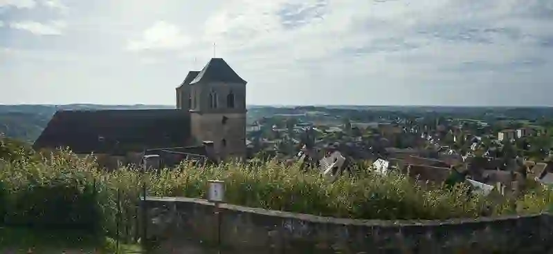
RoadBreakMap lists 14 mapped road stops in Gourdon, Occitanie, France: fuel, EV chargers, rest areas, drive-throughs and public toilets, where the data has them. Data: OpenStreetMap and Open Charge Map.
About Gourdon
Gourdon is a commune located in the Lot department of France, within the Occitanie region. It serves as a subprefecture and is known for its historical significance, particularly its prehistoric sites. The town has a population of 4,206 as of 2023 and sits at an elevation of 263 meters. Gourdon is situated near the Dordogne department and is not far from Rocamadour. It is recognized as the capital of the Bouriane, a natural area that is part of the Quercy region, extending towards the Dordogne River and adjacent to Périgord.
Source: Wikipedia (CC BY-SA 4.0) and Wikidata, rewritten for RoadBreakMap.
Places
Listed with the most recorded facilities first. This is not a rating or a recommendation; always check before you travel.
- Ets Garrigue
- Open 24 hours
- Intermarché
- Open 24 hours
- EV chargers
- Open 24 hours
- Wheelchair access
- Fee applies
- EV charging
- Avia
- Open 24 hours
- Carrefour
- Open 24 hours
- Total Contact
- Open 24 hours
- EV chargers
- Open 24 hours
- Fee applies
- EV up to 36 kW
- Public toilets
- Wheelchair access
- Free
- Système U
- Public toilets
- Wheelchair access
- Free
- Public toilets
- Wheelchair access
- Free
- Public toilets
- Free
- Public toilets
- Wheelchair access
- Free
- EV chargers
- Fee applies
Nearby: Sarlat-la-Canéda Cahors Brive-la-Gaillarde Montignac Le Bugue Leyme Montauban Figeac Villeneuve-sur-Lot Tulle Capdenac-Gare Villefranche-de-Rouergue
Places, opening hours and charger details come from open data and may be incomplete, out of date or wrong. Never use your phone while driving. Disclaimer & terms