Road stops in Dreux, Centre-Val de Loire, France
RoadBreakMap lists 35 mapped road stops in Dreux, Centre-Val de Loire, France: fuel, EV chargers, rest areas, drive-throughs and public toilets, where the data has them. Data: OpenStreetMap and Open Charge Map.
About Dreux
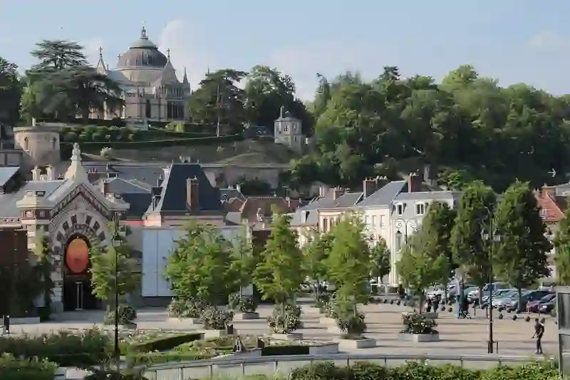
Dreux is a commune located in the Eure-et-Loir department of Centre-Val de Loire, northern France. It serves as a subprefecture and is situated on the border with Eure, which connects to Normandy. The town has a population of 31,543 and features the notable Chapelle royale, a significant site for the House of Orléans. Dreux station provides transport links to Paris and Versailles, making it accessible for travelers.
Source: Wikipedia (CC BY-SA 4.0) and Wikidata, rewritten for RoadBreakMap.
EV chargers (18)Fuel (13)Diesel (12)
Places
Listed with the most recorded facilities first. This is not a rating or a recommendation; always check before you travel.
- Relais Total De La Couette
- Open 24 hours
- Relais Total de la Couette
- Open 24 hours
- Station Service E. Leclerc
- Open 24 hours
- Powerdot
- Open 24 hours
- Fee applies
- Fast EV (50 kW)
- Station Service E. Leclerc
- Open 24 hours
- Carrefour
- Open 24 hours
- Carrefour Market
- Open 24 hours
- EV chargers
- Open 24 hours
- Fee applies
- EV up to 22 kW
- EV chargers
- Open 24 hours
- Fee applies
- EV up to 22 kW
- EV chargers
- Open 24 hours
- Fee applies
- EV up to 22 kW
- EV chargers
- Open 24 hours
- Fee applies
- EV up to 22 kW
- EV chargers
- Open 24 hours
- Fee applies
- EV up to 22 kW
- Carrefour
- Total
- EV chargers
- Opening hours listed
- Fee applies
- Fast EV (150 kW)
- EV chargers
- Opening hours listed
- Fee applies
- EV charging
- Carrefour
- Libreco
- Relais de la Tuilerie
- Aire de la Mare des Fourches
- Libreco
- Total
- Zunder - La Madeleine-de-Nonancourt
- Fast EV (400 kW)
- 900101
- EV up to 22 kW
- 900116
- EV up to 22 kW
- Aire de l'Arche du Gazon
- Aire de la Couette
- Aire du Bois de Vert
- Brezolles | Rue Notre-Dame
- EV up to 22 kW
- Châteauneuf-en-Thymerais | Rue Maurice Viollette 23
- EV up to 22 kW
- GARNAY
- EV up to 18 kW
- Saint-Lubin-des-Joncherets | Rue de la Baronnie
- EV up to 22 kW
- Saint-Rémy-sur-Avre | Place des Dodots
- EV up to 22 kW
- Tréon | Grande Rue
- EV up to 20 kW
- Vert-en-Drouais | Rue de l'Église
- EV up to 22 kW
Nearby: Évreux Verneuil-sur-Avre La Loupe Lucé Chartres Châteaudun Nogent-le-Rotrou L'Aigle Mortagne-au-Perche Rouen Saint-Quentin-en-Yvelines Lisieux
Places, opening hours and charger details come from open data and may be incomplete, out of date or wrong. Never use your phone while driving. Disclaimer & terms