Road stops in Courchevel, Auvergne-Rhône-Alpes, France
RoadBreakMap lists 18 mapped road stops in Courchevel, Auvergne-Rhône-Alpes, France: fuel, EV chargers, rest areas, drive-throughs and public toilets, where the data has them. Data: OpenStreetMap and Open Charge Map.
About Courchevel
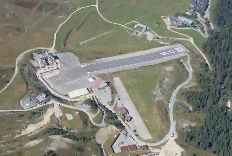
Courchevel is an altiport located in France, within the Auvergne-Rhône-Alpes region. It serves the ski resort of Courchevel in the French Alps. The airfield features a short runway that is 537 metres long with a gradient of 18.6%. Due to the mountainous terrain surrounding it, there is no go-around procedure for landings. The airfield is used mainly by smaller fixed-wing aircraft and helicopters. It does not have instrument approach procedures or lighting aids, making it unsafe to land in fog or low clouds.
Source: Wikipedia (CC BY-SA 4.0) and Wikidata, rewritten for RoadBreakMap.
Places
Listed with the most recorded facilities first. This is not a rating or a recommendation; always check before you travel.
- Courchevel Auto Services
- Open 24 hours
- Public toilets
- Free
- Public toilets
- Free
- Hôtel la Sivolière
- EV up to 17 kW
- Hôtel les Airelles
- EV up to 17 kW
- l'Apogée Courchevel
- EV up to 22 kW
- Public toilets
- Free
- Public toilets
- Free
- Public toilets
- Public toilets
- Public toilets
- Public toilets
- Public toilets
- Public toilets
- Public toilets
- Public toilets
- Public toilets
- Public toilets
Nearby: Pralognan-la-Vanoise Les Belleville Champagny-en-Vanoise Orelle Peisey-Nancroix Aussois Fourneaux Saint-Michel-de-Maurienne Albertville Bourg-Saint-Maurice Valmeinier Villaroger
Places, opening hours and charger details come from open data and may be incomplete, out of date or wrong. Never use your phone while driving. Disclaimer & terms