Road stops in Gambēla, Gambela, Ethiopia
RoadBreakMap lists 134 mapped road stops in Gambēla, Gambela, Ethiopia: fuel, EV chargers, rest areas, drive-throughs and public toilets, where the data has them. Data: OpenStreetMap and Open Charge Map.
About Gambēla
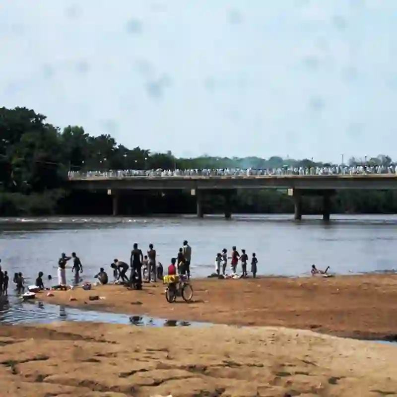
Gambēla is a district in the Gambela Region of Ethiopia, located within the Anuak Zone. It is bordered by Abobo to the south, Itang special woreda to the west, and the Oromia Region to the north and east. The capital of the region, Gambela, is surrounded by this woreda. The area features elevations ranging from 400 to 600 meters above sea level, with the Baro River flowing through it. Approximately 20% of the land is forested, and the economy is mainly agricultural, although there are no agricultural cooperatives present.
Source: Wikipedia (CC BY-SA 4.0) and Wikidata, rewritten for RoadBreakMap.
Places
Listed with the most recorded facilities first. This is not a rating or a recommendation; always check before you travel.
- Rest areas
- Public toilets
- Public toilets
- Public toilets
- Public toilets
- Public toilets
- Public toilets
- Public toilets
- Public toilets
- Public toilets
- Public toilets
- Public toilets
- Public toilets
- Public toilets
- Public toilets
- Public toilets
- Public toilets
- Public toilets
- Public toilets
- Public toilets
- Public toilets
- Public toilets
- Public toilets
- Public toilets
- Public toilets
- Public toilets
- Public toilets
- Public toilets
- Public toilets
- Public toilets
- Public toilets
- Public toilets
- Public toilets
- Public toilets
- Public toilets
- Public toilets
- Public toilets
- Public toilets
- Public toilets
- Public toilets
- Public toilets
- Public toilets
- Public toilets
- Public toilets
- Public toilets
- Public toilets
- Public toilets
- Public toilets
- Public toilets
- Public toilets
- Public toilets
- Public toilets
- Public toilets
- Public toilets
- Public toilets
- Public toilets
- Public toilets
- Public toilets
- Public toilets
- Public toilets
Showing 60 of 134. See more on the map
Nearby: Hāgere Hiywet Chagni Sodo Hosa’ina Arba Minch Debre Mark’os Awasa Dīla Shashamane Burayu Addis Ababa Āsela
Places, opening hours and charger details come from open data and may be incomplete, out of date or wrong. Never use your phone while driving. Disclaimer & terms