Road stops in Praia, Praia, Cabo Verde
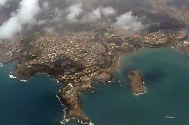
RoadBreakMap lists 42 mapped road stops in Praia, Cabo Verde: fuel, EV chargers, rest areas, drive-throughs and public toilets, where the data has them. Data: OpenStreetMap and Open Charge Map.
About Praia
Praia is a municipality located on the island of Santiago in Cape Verde. It serves as the capital city of Cape Verde and is part of the Sotavento Islands. The area is known for its population of over 130,000 people and sits at an elevation of 106 meters. The city hall is situated in the Platô area of Praia, which is the only civil parish in the municipality, Nossa Senhora da Graça.
Source: Wikipedia (CC BY-SA 4.0) and Wikidata, rewritten for RoadBreakMap.
Places
Listed with the most recorded facilities first. This is not a rating or a recommendation; always check before you travel.
- Posto abastecimento Enacol
- Opening hours listed
- EV chargers
- Open 24 hours
- Public toilets
- Wheelchair access
- Fee applies
- Enacol
- Enacol
- Enacol
- Posto abastecimento Shell
- Posto de Combustível Shell São Domingos
- Shell
- Shell
- Shell
- Shell
- Shell
- Shell
- Shell
- Shell
- Shell
- Fuel
- Public toilets
- Enacol
- Enacol
- Enacol
- Enacol
- Enacol
- Enacol
- SHELL
- Shell
- Shell
- Toilet
- EV chargers
- EV chargers
- Fuel
- Fuel
- Fuel
- Rest areas
- Rest areas
- Rest areas
- Public toilets
- Public toilets
- Public toilets
- Public toilets
- Public toilets
Nearby: Sal Rei Espargos Mindelo
Places, opening hours and charger details come from open data and may be incomplete, out of date or wrong. Never use your phone while driving. Disclaimer & terms