Road stops in Nicoya, Provincia de Guanacaste, Costa Rica
RoadBreakMap lists 35 mapped road stops in Nicoya, Provincia de Guanacaste, Costa Rica: fuel, EV chargers, rest areas, drive-throughs and public toilets, where the data has them. Data: OpenStreetMap and Open Charge Map.
About Nicoya
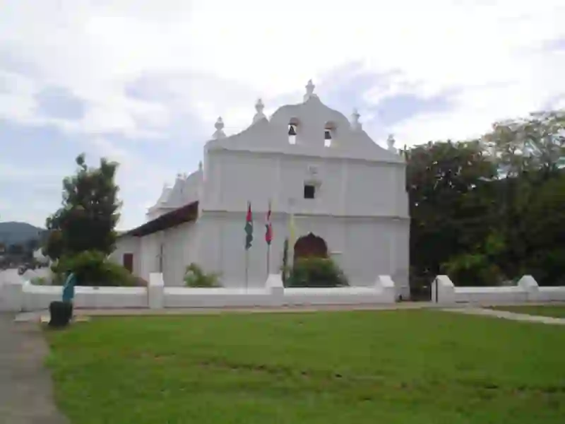
Nicoya is a district in the Nicoya Canton of Guanacaste province, Costa Rica. It serves as the head city of the canton and is situated on the Nicoya Peninsula. With a population of over 33,000, Nicoya is a key transport hub for visitors heading to nearby beaches and national parks, making it an important area for tourism in the country. The district is located at an elevation of 123 meters.
Source: Wikipedia (CC BY-SA 4.0) and Wikidata, rewritten for RoadBreakMap.
Places
Listed with the most recorded facilities first. This is not a rating or a recommendation; always check before you travel.
- McDonald's
- Wheelchair access
- Baby change
- JSM Santa Cruz
- Banco de Costa Rica
- Estacion de Servicio Sámara
- Gasolinera Río Tempisque
- Gasolineria La Alianza
- Qviva Electric Chargin Station
- Servicentro Coopepilangosta
- Servicentro Nosara
- Servicentro Santa Cruz
- Servicio Red Total Santa Cruz
- Agencia ICE Nosara
- Fast EV (150 kW)
- Burger King
- Ferretería Nosara
- EV up to 7 kW
- KFC
- Public toilets
- Public toilets
- Fee applies
- Public toilets
- Wheelchair access
- Public toilets
- Wheelchair access
- Public toilets
- Free
- Biblioteca Municipalidad de la Cruz
- EV up to 7.7 kW
- Centro Comercial Nueva China, Sámara
- Fast EV (60 kW)
- CoopeGuanacaste
- Fast EV (90 kW)
- Coopeguanacaste - Santa cruz
- Fast EV (90 kW)
- Coopeguanacaste, Santa Cruz
- EV up to 7 kW
- Estación de Servicio Full
- Gasolinera San Pedro
- Gasolinera ServiMovil 27 de Abril
- JSM Nicoya
- La Bomba
- MaxiPali Nicoya #4109
- EV up to 7 kW
- Nosara Real Estate & Vacation Rental Homes
- EV up to 7.7 kW
- Servicentro Nicoya
- Vía 21
- EV up to 7.2 kW
- Public toilets
Nearby: Liberia Cañas Puntarenas Monte Verde Chacarita La Fortuna Jacó San José San José Quepos San Isidro Limón
Places, opening hours and charger details come from open data and may be incomplete, out of date or wrong. Never use your phone while driving. Disclaimer & terms