Road stops in Abidjan, Abidjan Autonomous District, Côte d’Ivoire
RoadBreakMap lists 333 mapped road stops in Abidjan, Abidjan Autonomous District, Côte d’Ivoire: fuel, EV chargers, rest areas, drive-throughs and public toilets, where the data has them. Data: OpenStreetMap and Open Charge Map.
About Abidjan
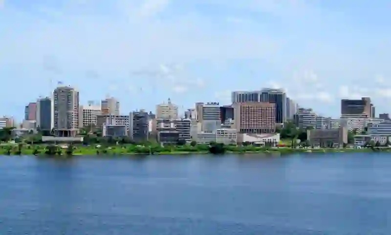
Abidjan is the largest city and economic capital of Ivory Coast. Located in the Abidjan Autonomous District, it is a major urban center with a population of over 5.6 million. The city is next to the Gulf of Guinea and has a high level of industrialization. Abidjan was established in 1898 and became an important sea port after the completion of the Vridi Canal in 1951. Although Yamoussoukro is the official political capital, Abidjan remains vital for economic activities and hosts many political institutions and foreign embassies.
Source: Wikipedia (CC BY-SA 4.0) and Wikidata, rewritten for RoadBreakMap.
Fuel (159)Public toilets (158)
Places
Listed with the most recorded facilities first. This is not a rating or a recommendation; always check before you travel.
- Public toilets
- Wheelchair access
- Free
- Public toilets
- Wheelchair access
- Free
- Public toilets
- Wheelchair access
- Free
- Public toilets
- Wheelchair access
- Free
- Public toilets
- Wheelchair access
- Free
- Afriquia
- Open 24 hours
- Afriquia
- Wheelchair access
- Shell
- Shell Sainte-Famille
- Station Fluel Save
- Station Service Shell
- Toilettes Publiques
- Fee applies
- Total Yop Selmer
- Public toilets
- Wheelchair access
- Free
- Public toilets
- Wheelchair access
- Free
- Public toilets
- Fee applies
- Public toilets
- Wheelchair access
- Baby change
- Corlay Autoroute du Nord
- Corlay Riviera 3
- Corlay Rue des Jardins
- IDC Sococé
- Oilibya
- Ola Energy Autoroute d’Abobo
- Ola Energy Route de Dabou
- Pétro Ivoire
- Pétroci
- Pétroci
- Pétroci
- Shell
- Shell
- Shell
- Shell
- Shell
- Shell
- Shell
- Shell
- Shell
- Shell
- Shell
- Shell
- Shell Boulevard Thérèse Houphouët-Boigny
- Shell Yopougon Cité Verte
- Station Powex
- Station Service African Petroleum
- Station Service Corlay
- Station Service Corlay
- Station Service First Petroleum Riviéra 2
- Station Service First Pétroleum
- Station Service Ivoire Pétroleum
- Station Service Oilibya Riviéra-Palmeraie
- Station Service PetroIvoire Ananeraie
- Station Service Pride Petroleum Riviera-Palmeraie
- Station Service Pétro Ivoire
- Station Service Pétro Ivoire
- Station Service Pétro Ivoire
- Station Service Pétro Ivoire
- Station Service Pétro Ivoire 7e tranche
- Station Service Pétro Ivoire Bonikro
- Station Service Pétroci
- Station Service Pétroci
Showing 60 of 333. See more on the map
Nearby: Marcory Abobo Anyama Koumassi Dabou Divo Abengourou Yamoussoukro Gagnoa Bouaflé Sinfra Bouaké
Places, opening hours and charger details come from open data and may be incomplete, out of date or wrong. Never use your phone while driving. Disclaimer & terms