Road stops in Whitehorse, Yukon, Canada
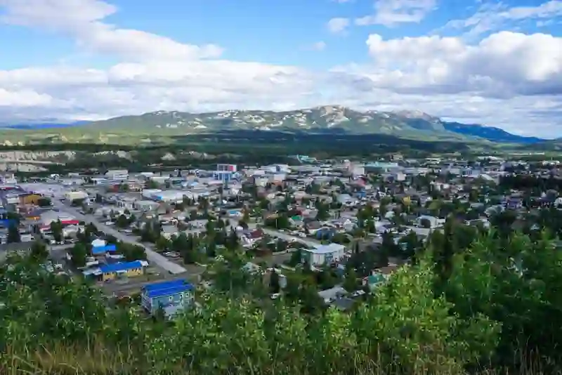
RoadBreakMap lists 67 mapped road stops in Whitehorse, Yukon, Canada: fuel, EV chargers, rest areas, drive-throughs and public toilets, where the data has them. Data: OpenStreetMap and Open Charge Map.
About Whitehorse
Whitehorse is the capital city of Yukon, Canada, and the largest city in Northern Canada. It is situated along the Yukon River and has a population of over 28,000. The city was established in 1898 and is located on the Alaska Highway. Whitehorse is known for its milder climate due to its valley location, which influences daylight hours in both winter and summer. The city's name comes from the White Horse Rapids, which resemble a horse's mane.
Source: Wikipedia (CC BY-SA 4.0) and Wikidata, rewritten for RoadBreakMap.
Fuel (25)Public toilets (22)Diesel (15)EV chargers (12)
Places
Listed with the most recorded facilities first. This is not a rating or a recommendation; always check before you travel.
- Cousins Rest Area
- Open 24 hours
- Free
- Petro-Canada
- Opening hours listed
- Public toilets
- Wheelchair access
- Free
- FLO
- Fee applies
- EV up to 3.7 kW
- FLO
- Fee applies
- EV up to 40 kW
- Fas Gas
- Opening hours listed
- Robert Service Way Rest Area
- Open 24 hours
- Free
- Trails North
- Public toilets
- Wheelchair access
- Free
- Mobil
- North 60 Petro Cardlock
- 114 Titanium - EV Hotel
- Fast EV (50 kW)
- Dairy Queen
- Fuel Yukon
- Fuel Yukon
- Fuel Yukon
- Fuel Yukon
- Integra Tire
- Jim Smith Building - South parking lot
- EV up to 3.7 kW
- Lewes River Bridge Rest Area
- McDonald's
- McDonald's
- North 60 Petro
- North 60 Petro Cardlock
- Petro Canada
- Petro One
- Petro One
- Petro-Canada
- Petro-Canada
- Petro-Canada Cardlock
- Opening hours listed
- Petro-Pass
- PetroOne
- Porter Creek Super A
- RGS EV FLo Station
- EV up to 3.7 kW
- Raven Inn and Suites
- EV up to 3.7 kW
- Riverdale Super A
- Takhini Gas
- Whitehorse NorthLight Innovation
- Fast EV (50 kW)
- YK Hospital-1
- EV up to 3.7 kW
- Yukon Transportation Museum - Whitehorse
- Fast EV (50 kW)
- Public toilets
- Public toilets
- Wheelchair access
- Public toilets
- Free
- Public toilets
- Government of Yukon
- EV up to 3.7 kW
- Integra Tire
- Tags Food Gas
- Whitehorse Motors Ford
- EV up to 3.7 kW
- Yukon Transportation Museum
- Fast EV (50 kW)
- Rest areas
- Rest areas
- Public toilets
- Public toilets
- Public toilets
- Public toilets
- Public toilets
- Public toilets
- Public toilets
- Public toilets
- Public toilets
Showing 60 of 67. See more on the map
Nearby: Prince Rupert Terrace Kitimat Smithers Prince George Campbell River Quesnel Fort St. John Courtenay Port Alberni Williams Lake Dawson Creek
Places, opening hours and charger details come from open data and may be incomplete, out of date or wrong. Never use your phone while driving. Disclaimer & terms