Road stops in Vermilion, Alberta, Canada
RoadBreakMap lists 17 mapped road stops in Vermilion, Alberta, Canada: fuel, EV chargers, rest areas, drive-throughs and public toilets, where the data has them. Data: OpenStreetMap and Open Charge Map.
About Vermilion
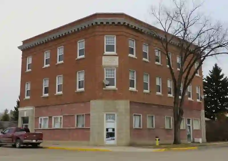
Vermilion is a town located in Alberta, Canada. It is surrounded by the County of Vermilion River and sits at the intersection of Highway 16 and Highway 41. The town is approximately 60 kilometres west of Lloydminster and 192 kilometres east of Edmonton. Founded in 1902, Vermilion has a population of 3,948 as of 2021 and is situated at an elevation of 580 meters.
Source: Wikipedia (CC BY-SA 4.0) and Wikidata, rewritten for RoadBreakMap.
Places
Listed with the most recorded facilities first. This is not a rating or a recommendation; always check before you travel.
- Co-op Cardlock
- Open 24 hours
- Tim Hortons
- Opening hours listed
- Co-op
- Esso
- Husky
- KFC
- Petro-Canada
- Shell
- UFA
- Vermilion Truck Wash
- Extra Foods
- Main Street Hardware
- EV up to 3.7 kW
- Webb's Ford
- EV up to 3.7 kW
- Public toilets
- Public toilets
- Public toilets
- Public toilets
Nearby: Wainwright Lloydminster Lloydminster Bonnyville Vegreville Grand Centre Camrose Stettler Meadow Lake Wetaskiwin North Battleford Edmonton
Places, opening hours and charger details come from open data and may be incomplete, out of date or wrong. Never use your phone while driving. Disclaimer & terms