Road stops in St. Andrews, New Brunswick, Canada
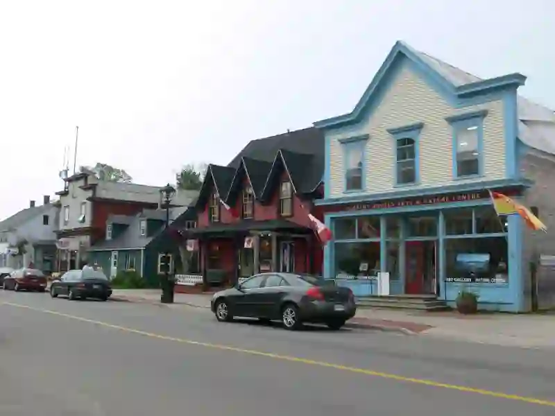
RoadBreakMap lists 20 mapped road stops in St. Andrews, New Brunswick, Canada: fuel, EV chargers, rest areas, drive-throughs and public toilets, where the data has them. Data: OpenStreetMap and Open Charge Map.
About St. Andrews
St. Andrews is a town situated in Charlotte County, New Brunswick, Canada. It features a historic layout typical of 18th century British colonial settlements, including a market square and classical architecture. The town has a population of 2,048 as of 2021. While often referred to as St. Andrews in casual conversation, its official name is spelled Saint Andrews, which is used on the town's website. The local Chamber of Commerce promotes the area as St. Andrews by-the-Sea for tourism. In 2023, the town expanded by annexing the local service district of Bayside and Chamcook.
Source: Wikipedia (CC BY-SA 4.0) and Wikidata, rewritten for RoadBreakMap.
Places
Listed with the most recorded facilities first. This is not a rating or a recommendation; always check before you travel.
- Cummings Convenience
- Opening hours listed
- eCharge
- Fee applies
- eCharge
- Fee applies
- eChargeNetwork
- Fee applies
- EV up to 40 kW
- Sun Country
- Switch
- Fee applies
- NBCC - St. Andrews
- EV up to 3.7 kW
- NBP - St. Andrews
- Fast EV (50 kW)
- Seaside Beach Resort, 339 Water St, Saint Andrews, NB
- EV up to 3.7 kW
- The Algonquin Resort
- EV up to 16 kW
- Public toilets
- Free
- Public toilets
- Free
- Public toilets
- Wheelchair access
- NB Power
- Fast EV (50 kW)
- EV chargers
- EV up to 3 kW
- EV chargers
- EV up to 8 kW
- EV chargers
- EV up to 3.7 kW
- Public toilets
- Public toilets
- Public toilets
Nearby: Grand Manan Island Saint John West Fredericton Fredericton Northside Saint John Quispamsis Woodstock Digby Neck (Digby) Yarmouth Sussex Fundy-St. Martins Perth-Andover
Places, opening hours and charger details come from open data and may be incomplete, out of date or wrong. Never use your phone while driving. Disclaimer & terms