Road stops in Saanich, British Columbia, Canada
RoadBreakMap lists 363 mapped road stops in Saanich, British Columbia, Canada: fuel, EV chargers, rest areas, drive-throughs and public toilets, where the data has them. Data: OpenStreetMap and Open Charge Map.
About Saanich
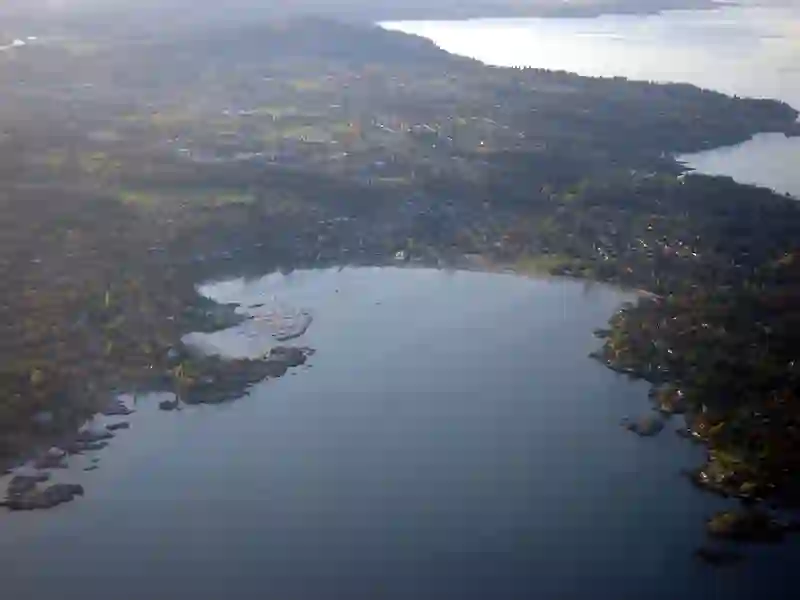
Saanich is a federal electoral district located in British Columbia, Canada. Established in 1997, it has a population of 113,541 as of 2021. This area includes the Gulf Islands and the Saanich Peninsula, contributing to its unique geographical identity within the Vancouver Island region.
Source: Wikipedia (CC BY-SA 4.0) and Wikidata, rewritten for RoadBreakMap.
Public toilets (213)EV chargers (97)Fuel (42)
Places
Listed with the most recorded facilities first. This is not a rating or a recommendation; always check before you travel.
- Petro-Canada
- Open 24 hours
- Fee applies
- EV charging
- Petro-Canada
- Open 24 hours
- Fee applies
- Fast EV (50 kW)
- Cobble Hill Rest Area
- Open 24 hours
- A&W
- Opening hours listed
- Baby change
- Arbutus Rest Area
- Open 24 hours
- BC Hydro
- Fee applies
- Fast EV (50 kW)
- Malahat Summit Rest Area
- Open 24 hours
- McDonald's
- Open 24 hours
- McDonald's
- Opening hours listed
- Wheelchair access
- Mobil
- On the Run EV Fast
- Fee applies
- On the Run EV Fast
- Fee applies
- Shell
- Tesla Super Charger
- Fee applies
- Fast EV (50 kW)
- Public toilets
- Wheelchair access
- Baby change
- Free
- Public toilets
- Wheelchair access
- Public toilets
- Wheelchair access
- Baby change
- Public toilets
- Wheelchair access
- Free
- BC Hydro
- Fast EV (50 kW)
- FLO
- EV up to 3.7 kW
- FLO
- Ganges Co-op
- Kempower
- McDonald's
- Opening hours listed
- Shell
- Wendy's
- Opening hours listed
- EV chargers
- Fee applies
- Fast EV (50 kW)
- Fuel
- Public toilets
- Wheelchair access
- Free
- Public toilets
- Wheelchair access
- Free
- Public toilets
- Wheelchair access
- Public toilets
- Wheelchair access
- Public toilets
- Wheelchair access
- Free
- Public toilets
- Wheelchair access
- Free
- Public toilets
- Wheelchair access
- Public toilets
- Wheelchair access
- Baby change
- Public toilets
- Wheelchair access
- Public toilets
- Wheelchair access
- Public toilets
- Wheelchair access
- Free
- Public toilets
- Wheelchair access
- Free
- Public toilets
- Wheelchair access
- Free
- Public toilets
- Wheelchair access
- BC Transit - 5271 Boal Rd
- EV up to 3.7 kW
- BROADSTREET TIMBER #2
- EV up to 3.7 kW
- BROADSTREET WILLOWS #7
- EV up to 3.7 kW
- Boultbee
- EV up to 3.7 kW
- CITY OF DUNCAN DUNCAN 2
- EV up to 3.7 kW
- CITY OF DUNCAN DUNCAN 3
- EV up to 3.7 kW
- CRD - Panorama Recreation, Public
- EV up to 3.7 kW
- CRD - Rainbow Recreation, Public
- EV up to 3.7 kW
- CVRD ISCTRE1-CT4K
- EV up to 3.7 kW
- CVRD KERRYPARKREC-4K
- EV up to 3.7 kW
- CVRD SLCC-C4K
- EV up to 3.7 kW
- Camosun College - Interurban Campus P2
- EV up to 3.7 kW
- Camosun College-Parking
- EV up to 6 kW
- Canco
- Opening hours listed
- Chemainus Fuel Bar - 9355 Smiley Road
- Fast EV (50 kW)
- Chevron
- Chevron
- Chevron
Showing 60 of 363. See more on the map
Nearby: Victoria North Cowichan Delta Duncan Richmond Sooke Nanaimo Vancouver Burnaby Surrey Newton Whalley
Places, opening hours and charger details come from open data and may be incomplete, out of date or wrong. Never use your phone while driving. Disclaimer & terms