Road stops in Rio Branco, Acre, Brazil
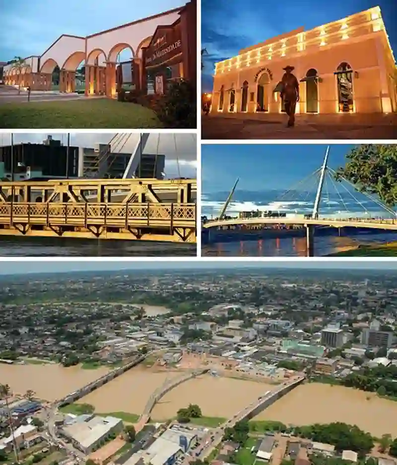
RoadBreakMap lists 32 mapped road stops in Rio Branco, Acre, Brazil: fuel, EV chargers, rest areas, drive-throughs and public toilets, where the data has them. Data: OpenStreetMap and Open Charge Map.
About Rio Branco
Rio Branco is the capital of Acre state in Brazil and a significant municipality in the region. It is located in the valley of the Acre River and is the most populous municipality in Acre, with a population that makes up almost half of the state's total. Founded in 1882, it has developed into an important administrative center for the area's economic, political, and cultural activities.
Source: Wikipedia (CC BY-SA 4.0) and Wikidata, rewritten for RoadBreakMap.
Places
Listed with the most recorded facilities first. This is not a rating or a recommendation; always check before you travel.
- Auto Posto Mercado do Bosque
- BR
- BR
- Posto de Combusível Shell
- Shell
- Auto Posto Bujão
- Auto Posto Parati
- Equador
- Posto Tucumã
- Posto de Combustível Shell
- Posto de Gasolina BR
- Posto gasolina
- Ribeiro
- Auto Posto Tropical
- Auto posto Tropical
- BR distribuidora - BARIB
- Machado
- Petrobras
- Posto BR
- Posto Bonzão
- Ribeiro
- Village
- Fuel
- Fuel
- Fuel
- Fuel
- Fuel
- Fuel
- Fuel
- Fuel
- Fuel
- Fuel
Nearby: Porto Velho Ji Paraná Vilhena Juína Manacapuru Pontes e Lacerda Juara Manaus Tangará da Serra Sorriso Sinop Novo Progresso
Places, opening hours and charger details come from open data and may be incomplete, out of date or wrong. Never use your phone while driving. Disclaimer & terms