Road stops in Itaituba, Para, Brazil
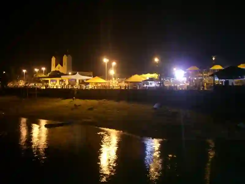
RoadBreakMap lists 50 mapped road stops in Itaituba, Para, Brazil: fuel, EV chargers, rest areas, drive-throughs and public toilets, where the data has them. Data: OpenStreetMap and Open Charge Map.
About Itaituba
Itaituba is a locality in Brazil, situated in the Para region. This human settlement is located at an elevation of 13 meters. Itaituba is known for its community and local life.
Facts: Wikidata.
Places
Listed with the most recorded facilities first. This is not a rating or a recommendation; always check before you travel.
- Posto Leal
- Wheelchair access
- Posto Lealzinho 13 de Maio
- Wheelchair access
- Posto Mimoso
- Wheelchair access
- Auto Posto Nort
- Wheelchair access
- Posto Leal Buriti
- Posto Mais Paizão Miritituba
- Wheelchair access
- Posto Mais Paizão Miritituba
- Wheelchair access
- Auto Posto Primavera
- Auto Posto São João
- Auto Posto São Mateus
- Posto Asa Branca
- Posto São Matheus Orla
- Auto Posto Dado
- POSTO PETROCEM
- EV chargers
- Public toilets
- ALDO
- Auto Posto Amigão
- Auto Posto Dado
- Auto Posto Lealzinho da 34
- Auto Posto Nazaré
- Ipiranga
- MIRIAN
- POSTO MARAJÓ
- POSTO MIRIAN
- POSTO NICOLODI
- POSTO PAIZÃO
- POSTO PRO TORK
- Posto Campo Verde KM30
- Posto Tapajós
- Posto Tapajós- Rede São Gonçalo
- Posto Transamazônica
- Shell
- Shell
- TREVAO
- TREVÃO
- Fuel
- Fuel
- Fuel
- Fuel
- Fuel
- Fuel
- Fuel
- Fuel
- Fuel
- Public toilets
- Public toilets
- Public toilets
- Public toilets
- Public toilets
Nearby: Santarém Óbidos Novo Progresso Altamira Manaus Manacapuru Matupá Tucuruí Parauapebas Macapá Redenção Marabá
Places, opening hours and charger details come from open data and may be incomplete, out of date or wrong. Never use your phone while driving. Disclaimer & terms