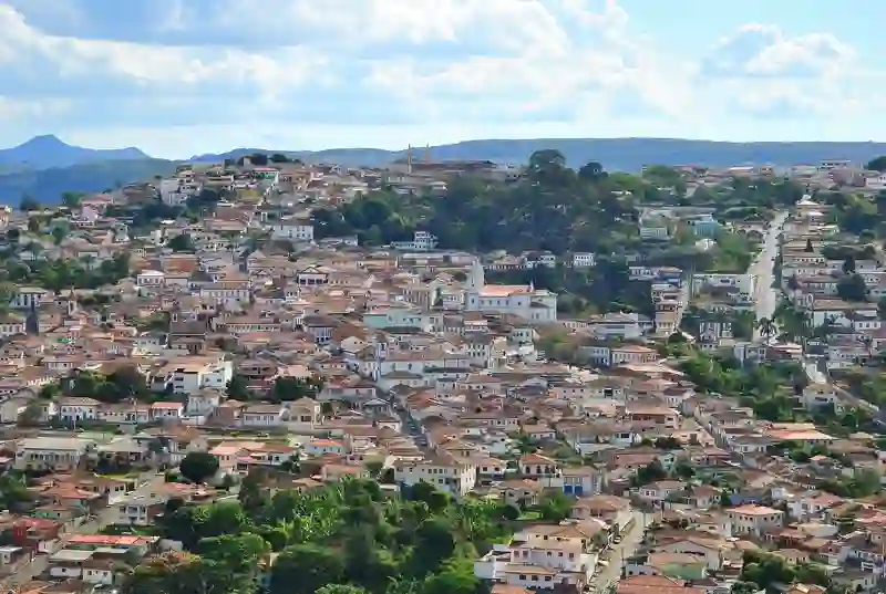
Road stops in Diamantina, Minas Gerais, Brazil
RoadBreakMap lists 17 mapped road stops in Diamantina, Minas Gerais, Brazil: fuel, EV chargers, rest areas, drive-throughs and public toilets, where the data has them. Data: OpenStreetMap and Open Charge Map.
About Diamantina
Diamantina is a place in Minas Gerais, Brazil. Its recorded population is 49,493 (2025). It sits at an elevation of about 1,113 m. Use the map and lists on this page to find fuel, EV charging, toilets, rest areas and food stops around town.
Facts: Wikidata.
Places
Listed with the most recorded facilities first. This is not a rating or a recommendation; always check before you travel.
- Posto Real D'Ávila
- Vamos Lá
- Opening hours listed
- Fee applies
- EV charging
- BR
- BR
- Posto Medanha
- Posto Rio Grande
- Public toilets
- Wheelchair access
- Jequitinhonha
- Posto de Combustíveis Zema
- Fuel
- Fuel
- Fuel
- Fuel
- Fuel
- Fuel
- Fuel
- Public toilets
Nearby: São João Evangelista Guanhães Bocaiúva Curvelo Sete Lagoas Montes Claros Vespasiano Itabira Buritizeiro Três Marias Ipatinga Coronel Fabriciano
Places, opening hours and charger details come from open data and may be incomplete, out of date or wrong. Never use your phone while driving. Disclaimer & terms