Road stops in Camaçari, Bahia, Brazil
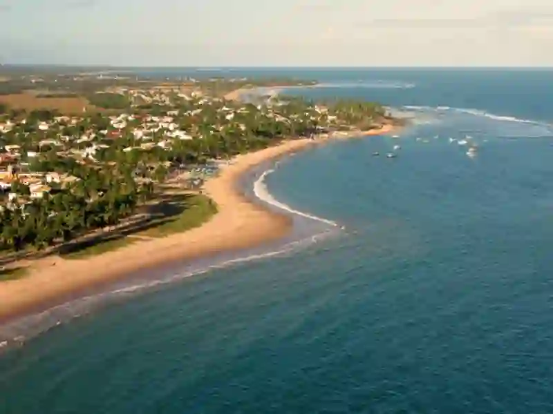
RoadBreakMap lists 53 mapped road stops in Camaçari, Bahia, Brazil: fuel, EV chargers, rest areas, drive-throughs and public toilets, where the data has them. Data: OpenStreetMap and Open Charge Map.
About Camaçari
Camaçari is a place in Bahia, Brazil. Its recorded population is 321,636 (2025). It sits at an elevation of about 36 m. Use the map and lists on this page to find fuel, EV charging, toilets, rest areas and food stops around town.
Facts: Wikidata.
Places
Listed with the most recorded facilities first. This is not a rating or a recommendation; always check before you travel.
- Brasilgas
- Brasilgas
- Atacadão Hiperideal - Corredor Verde Neoenergia
- Fast EV (50 kW)
- BR
- BR
- BR
- BR
- BR
- Embasa
- Menor Preço
- POSTO SANTA ISABEL
- Petrox
- Posto Itacimirim
- Posto Linha Verde
- Posto Linha Verde Petrobras - Corredor Verde Neoenergia
- Fast EV (50 kW)
- Posto Petrobras
- Posto Petrópolis
- Opening hours listed
- Posto Shell
- Posto Via Atlântica
- Fuel
- Public toilets
- Free
- BACAM - Vibra Energia
- BR
- BR
- BR
- Ipiranga
- Menor Preço
- P5
- PJ
- Petrobras
- Posto Casa Nova
- Posto Imbassaí
- Shell
- Texaco
- Texaco
- Fuel
- Fuel
- Fuel
- Fuel
- Fuel
- Fuel
- Fuel
- Rest areas
- Rest areas
- Public toilets
- Public toilets
- Public toilets
- Public toilets
- Public toilets
- Public toilets
- Public toilets
- Public toilets
- Public toilets
Nearby: Simões Filho Lauro de Freitas Salvador Alagoinhas Feira de Santana Santo Antônio de Jesus Rafael Jambeiro Conceição do Coité Lagarto São Cristóvão Gandu Valente
Places, opening hours and charger details come from open data and may be incomplete, out of date or wrong. Never use your phone while driving. Disclaimer & terms