Road stops in Yulara, Northern Territory, Australia
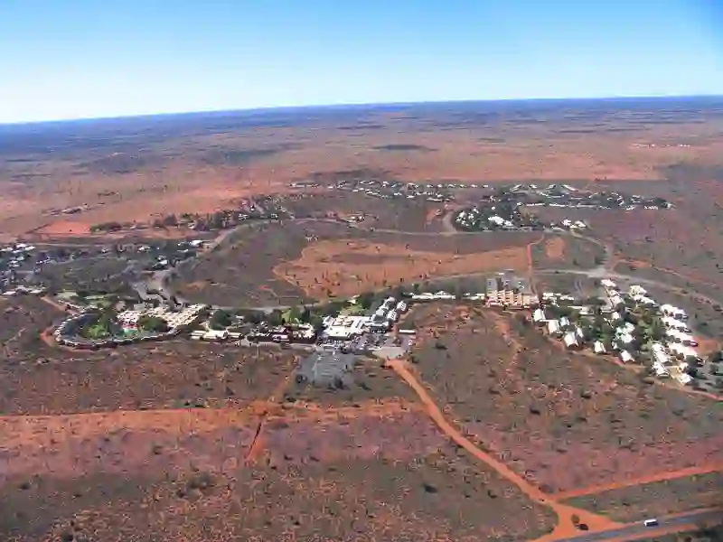
RoadBreakMap lists 16 mapped road stops in Yulara, Northern Territory, Australia: fuel, EV chargers, rest areas, drive-throughs and public toilets, where the data has them. Data: OpenStreetMap and Open Charge Map.
About Yulara
Yulara is a town located in the Northern Territory of Australia. It serves as an unincorporated enclave within the MacDonnell Region. Established in 1984, Yulara has a population of 853 as of 2021. The town is situated at an elevation of 492 meters and covers an area of 103.33 square kilometers. Yulara is conveniently located 18 kilometers from the World Heritage Site of Uluru and 55 kilometers from Kata Tjuta.
Source: Wikipedia (CC BY-SA 4.0) and Wikidata, rewritten for RoadBreakMap.
Places
Listed with the most recorded facilities first. This is not a rating or a recommendation; always check before you travel.
- Ayers Rock Service Station
- Opening hours listed
- Ayers Rock Service Station
- Opening hours listed
- NRMA
- Fee applies
- EV charging
- Public toilets
- Wheelchair access
- Baby change
- Free
- Public toilets
- Wheelchair access
- Baby change
- Free
- Public toilets
- Wheelchair access
- Baby change
- Free
- Public toilets
- Wheelchair access
- Free
- Public toilets
- Wheelchair access
- Free
- Public toilets
- Free
- Public toilets
- Free
- Public toilets
- Free
- Public toilets
- Public toilets
- Public toilets
- Public toilets
- Public toilets
Nearby: Alice Springs Coober Pedy Tennant Creek Ceduna Streaky Bay Fitzroy Crossing Kimba Mount Isa Kununurra Port Augusta West Port Augusta Whyalla
Places, opening hours and charger details come from open data and may be incomplete, out of date or wrong. Never use your phone while driving. Disclaimer & terms