Road stops in Ebor, New South Wales, Australia
RoadBreakMap lists 18 mapped road stops in Ebor, New South Wales, Australia: fuel, EV chargers, rest areas, drive-throughs and public toilets, where the data has them. Data: OpenStreetMap and Open Charge Map.
About Ebor
Ebor is a small village located in New South Wales, Australia, within the Armidale Regional Council area. It sits along Waterfall Way on the Northern Tablelands, making it a convenient stop between Armidale and the coast. The village is approximately 80 kilometers east of Armidale and is about a third of the way to the coast. Nearby, Dorrigo is 46 kilometers to the east, while the Coffs Coast is 55 kilometers away along the same route. With a population of 149 as of 2021, Ebor offers a quiet and peaceful atmosphere.
Source: Wikipedia (CC BY-SA 4.0) and Wikidata, rewritten for RoadBreakMap.
Places
Listed with the most recorded facilities first. This is not a rating or a recommendation; always check before you travel.
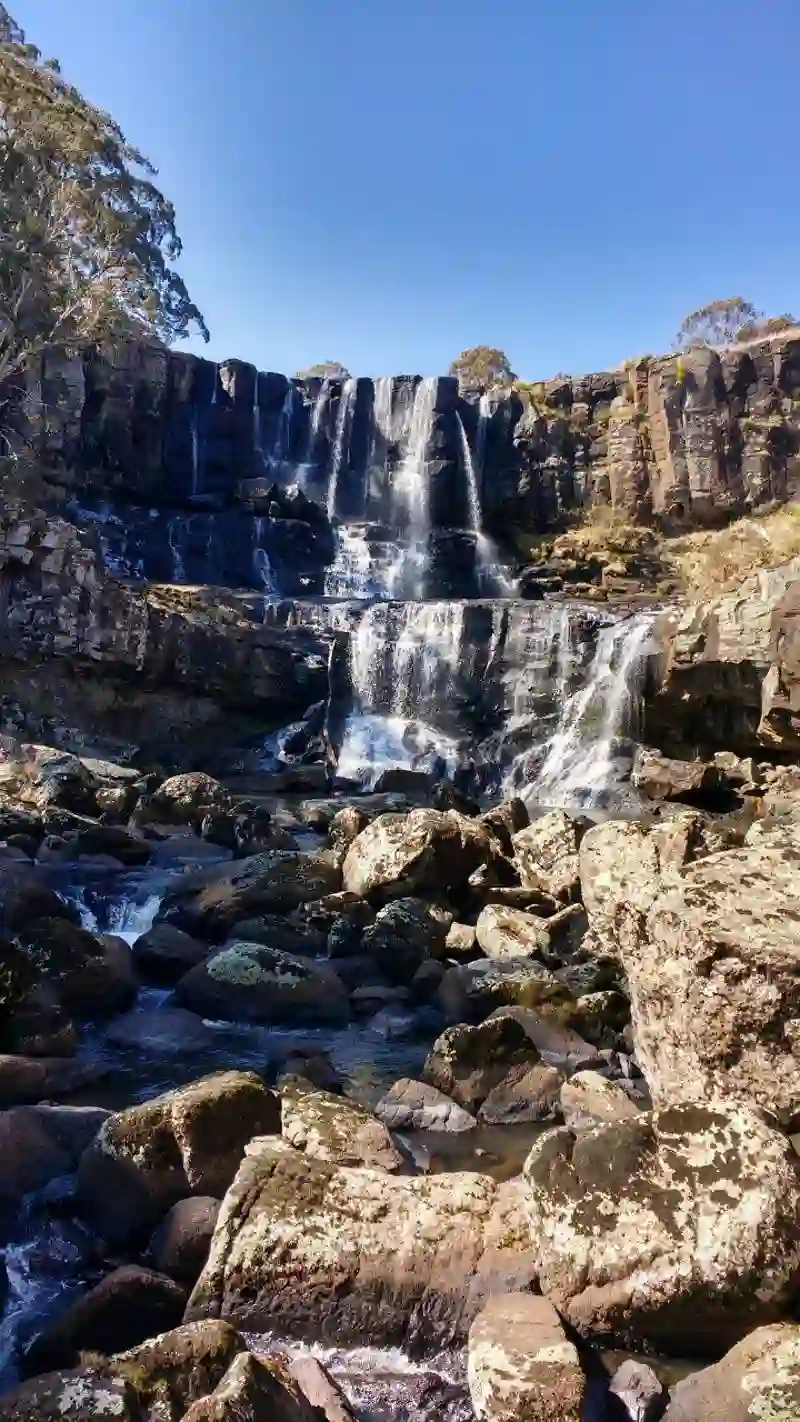
- Ebor Falls Picnic, Lookout and Rest Area
- Open 24 hours
- Wheelchair access
- Free
- Ebor Fuels
- Open 24 hours
- Barokee Campground
- Wheelchair access
- Free
- Ebor Rest Area
- Native Dog Creek Camping area
- Wheelchair access
- Free
- Ebor Falls Picnic, Lookout and Rest Area
- Ebor Rest Area
- Wheelchair access
- Point Lookout Picnic Area
- Wheelchair access
- Snowy Range Rest Area
- Thungutti Camping Area
- Free
- Thungutti Camping Area
- Free
- Oakey River Rest Area
- Point Lookout Road Stopping Bay
- Thungutti Camping Area
- Public toilets
- Public toilets
- Public toilets
- Public toilets
Nearby: Dorrigo Nambucca Heads Armidale Coffs Harbour Kempsey Arakoon Walcha Glen Innes Cangai Grafton Port Macquarie Inverell
Places, opening hours and charger details come from open data and may be incomplete, out of date or wrong. Never use your phone while driving. Disclaimer & terms