Road stops in Steyr, Oberösterreich, Austria
RoadBreakMap lists 13 mapped road stops in Steyr, Oberösterreich, Austria: fuel, EV chargers, rest areas, drive-throughs and public toilets, where the data has them. Data: OpenStreetMap and Open Charge Map.
About Steyr
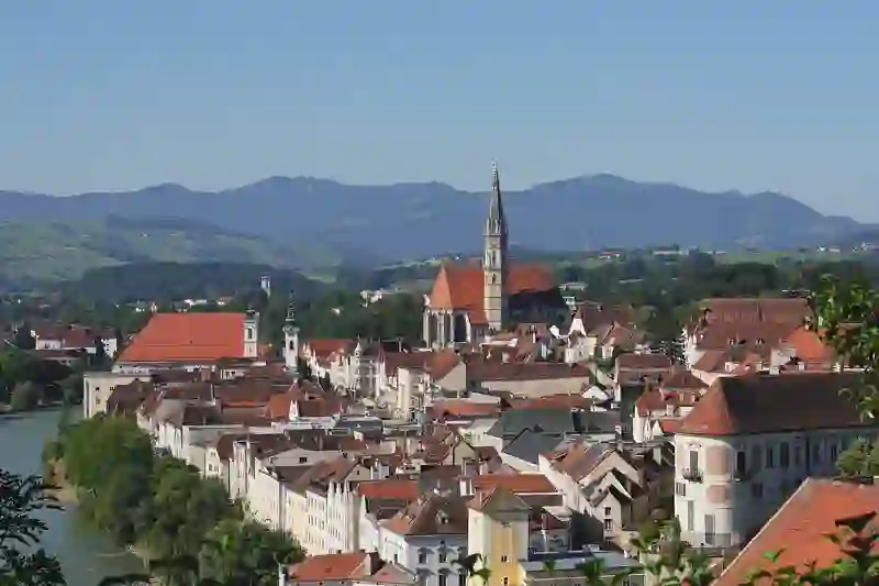
Steyr is a cadastral municipality in Austria, located in the region of Oberösterreich. It sits at an elevation of 285 meters. Steyr is part of the larger area known as Steyr.
Facts: Wikidata.
Places
Listed with the most recorded facilities first. This is not a rating or a recommendation; always check before you travel.
- Socar
- Opening hours listed
- Socar
- Opening hours listed
- EV chargers
- Open 24 hours
- Fee applies
- EV charging
- EV chargers
- Open 24 hours
- Fee applies
- EV charging
- Turmöl
- Genol
- Public toilets
- Free
- EV chargers
- EV charging
- Public toilets
- Public toilets
- Public toilets
- Public toilets
- Public toilets
Nearby: Spital am Pyhrn Liezen Linz Grünau im Almtal Tauplitz Lunz am See Amstetten Kammern im Liesingtal Gmunden Neuhofen Gröbming Trofaiach
Places, opening hours and charger details come from open data and may be incomplete, out of date or wrong. Never use your phone while driving. Disclaimer & terms