Road stops in VIEDMA, R, Argentina
RoadBreakMap lists 21 mapped road stops in VIEDMA, R, Argentina: fuel, EV chargers, rest areas, drive-throughs and public toilets, where the data has them. Data: OpenStreetMap and Open Charge Map.
About VIEDMA
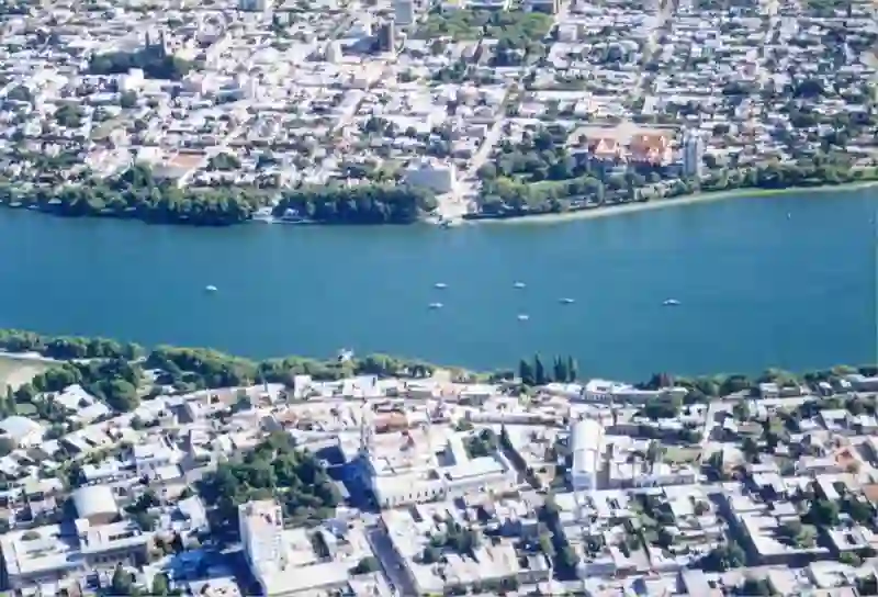
Viedma is the capital of the Río Negro Province in Argentina and is situated in the Adolfo Alsina Department. This city, which is also a municipality, has a population of 60,903. Founded in 1779, Viedma is located on the southern bank of the Negro River, approximately 30 kilometres from the Atlantic Coast and 960 km from Buenos Aires along National Route 3. It is the fourth largest city in the province.
Source: Wikipedia (CC BY-SA 4.0) and Wikidata, rewritten for RoadBreakMap.
Places
Listed with the most recorded facilities first. This is not a rating or a recommendation; always check before you travel.
- Axion Energy
- Puma
- YPF
- YPF
- YPF
- Banco Patagonia
- Baños Públicos
- YPF
- Public toilets
- Wheelchair access
- Baños
- Baños Públicos Costanera Norte
- Rest areas
- Public toilets
- Public toilets
- Public toilets
- Public toilets
- Public toilets
- Public toilets
- Public toilets
- Public toilets
- Public toilets
Nearby: CARMEN DE PATAGONES PEDRO LURO SAN ANTONIO OESTE RIO COLORADO BAHIA BLANCA PUERTO MADRYN CHOELE CHOEL RAWSON Pigüé Trelew CORONEL SUAREZ Tres Arroyos
Places, opening hours and charger details come from open data and may be incomplete, out of date or wrong. Never use your phone while driving. Disclaimer & terms