Road stops in SANTA FE, S, Argentina
RoadBreakMap lists 107 mapped road stops in SANTA FE, S, Argentina: fuel, EV chargers, rest areas, drive-throughs and public toilets, where the data has them. Data: OpenStreetMap and Open Charge Map.
About SANTA FE
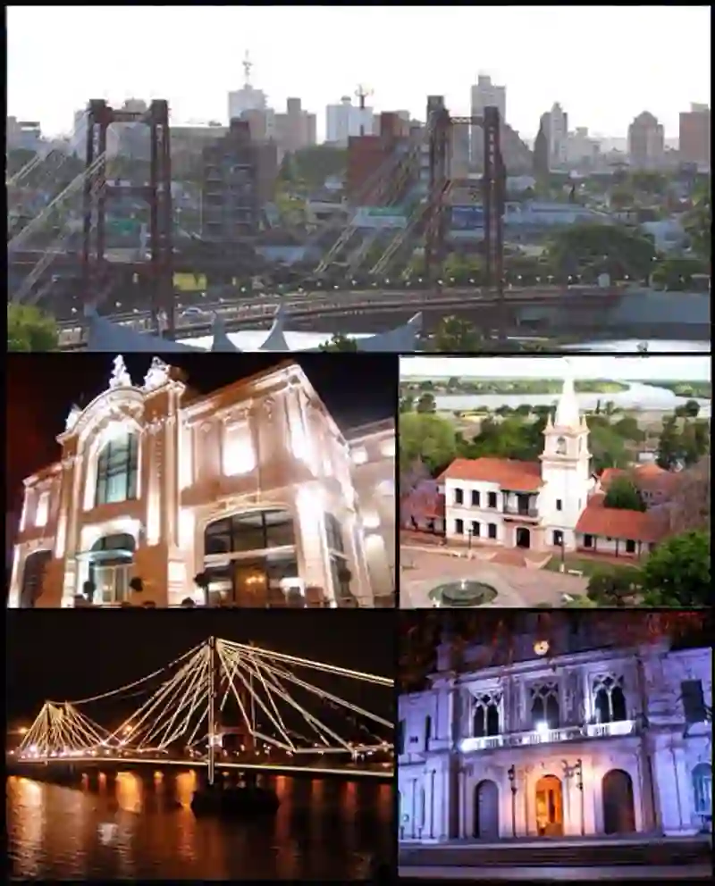
Santa Fe is a city and the capital of Santa Fe Province in Argentina. Located in the La Capital Department, it lies near the junction of the Paraná and Salado rivers. Founded in 1573, the city has a population of 408,572 as of 2022. Santa Fe is connected to the port of Colastiné and has links to other major cities in the region, including Rosario and Córdoba.
Source: Wikipedia (CC BY-SA 4.0) and Wikidata, rewritten for RoadBreakMap.
Fuel (85)Diesel (50)Public toilets (15)
Places
Listed with the most recorded facilities first. This is not a rating or a recommendation; always check before you travel.
- Axion
- Open 24 hours
- Wheelchair access
- Shell
- Wheelchair access
- YPF
- Wheelchair access
- YPF
- Open 24 hours
- ACA Filial 50
- Axion
- Axion
- Axion
- Axion
- Axion
- Axion
- Axion
- Axion
- Axion
- Credicoop
- Wheelchair access
- Dapsa
- Dapsa
- Esso
- FG Combustibles
- Gulf
- Gulf
- Oil
- Wheelchair access
- Oil
- Puma
- Shell
- Wheelchair access
- Shell
- Shell
- Shell
- Shell
- Shell
- Shell
- Shell
- Shell
- Shell
- Shell
- Shell
- Shell
- Shell
- Shell
- Shell
- Shell
- YPF
- YPF
- YPF
- YPF
- YPF
- YPF
- YPF
- YPF
- YPF
- Axion
- Axion
- Axion
- Axion
- Bandera Blanca
- Bandera Blanca
- Bandera Blanca
- Bandera Blanca
- Bandera Blanca
- Bandera Blanca
Showing 60 of 107. See more on the map
Nearby: PARANA GALVEZ RAFAELA SUNCHALES SAN JORGE NOGOYA San Francisco ROSARIO CAÑADA DE GOMEZ MORTEROS MARCOS JUAREZ VILLAGUAY
Places, opening hours and charger details come from open data and may be incomplete, out of date or wrong. Never use your phone while driving. Disclaimer & terms