Road stops in OBERA, N, Argentina
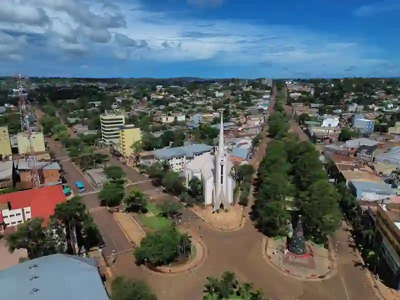
RoadBreakMap lists 36 mapped road stops in OBERA, N, Argentina: fuel, EV chargers, rest areas, drive-throughs and public toilets, where the data has them. Data: OpenStreetMap and Open Charge Map.
About OBERA
Oberá is a city located in the Misiones province of Argentina. It serves as the head town of the Oberá Department and was established in 1927. The city sits at an elevation of 298 meters and has a population of around 77,803. Oberá is situated 96 kilometers east of Posadas, along National Route 14, making it accessible for travelers exploring the region.
Source: Wikipedia (CC BY-SA 4.0) and Wikidata, rewritten for RoadBreakMap.
Places
Listed with the most recorded facilities first. This is not a rating or a recommendation; always check before you travel.
- YPF
- Open 24 hours
- ACA
- Axion
- Axion
- Shell
- Shell
- YPF
- YPF
- Bandera Blanca
- Rest areas
- Rest areas
- Public toilets
- Wheelchair access
- Free
- Public toilets
- Public toilets
- Free
- Public toilets
- Free
- Bandera Blanca
- Bandera Blanca
- Bandera Blanca
- Public toilets
- Public toilets
- Free
- Public toilets
- Free
- Public toilets
- Public toilets
- Public toilets
- Public toilets
- Public toilets
- Public toilets
- Public toilets
- Public toilets
- Public toilets
- Public toilets
- Public toilets
- Public toilets
- Public toilets
- Public toilets
- Public toilets
Nearby: JARDIN AMERICA POSADAS APOSTOLES San Vicente EL SOBERBIO Puerto Iguazú PASO DE LOS LIBRES CORRIENTES RESISTENCIA CHAJARI GOYA CONCORDIA
Places, opening hours and charger details come from open data and may be incomplete, out of date or wrong. Never use your phone while driving. Disclaimer & terms