Road stops in Shawinigan, Quebec, Canada
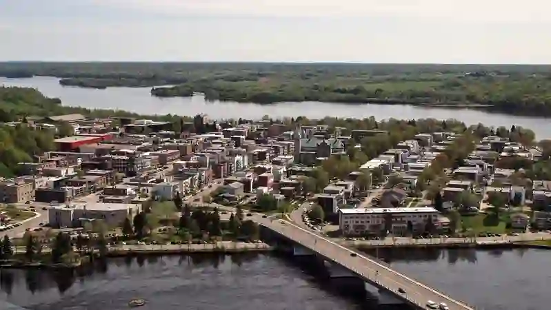
RoadBreakMap lists 17 mapped road stops in Shawinigan, Quebec, Canada: fuel, EV chargers, rest areas, drive-throughs and public toilets, where the data has them. Data: OpenStreetMap and Open Charge Map.
Places
Listed with the most recorded facilities first. This is not a rating or a recommendation; always check before you travel.
- Flo
- St-Roch-de-Mékinac - Camping municipal
- EV up to 3.7 kW
- St-Roch-de-Mékinac - Camping municipal
- EV up to 3.7 kW
- EV chargers
- Free
- Public toilets
- Public toilets
- Crevier
- Miraco
- Rest areas
- Public toilets
- Public toilets
- Public toilets
- Public toilets
- Public toilets
- Public toilets
- Public toilets
- Public toilets
Nearby: Trois-Rivières La Tuque Sorel-Tracy Saint-Charles-Borromée Drummondville Saint-Hyacinthe Terrebonne Victoriaville Rivière-des-Prairies–Pointe-aux-Trembles Longueuil Mercier–Hochelaga-Maisonneuve Le Vieux-Longueuil
Places, opening hours and charger details come from open data and may be incomplete, out of date or wrong. Never use your phone while driving. Aviso legal y términos